Zero Hour Atlas
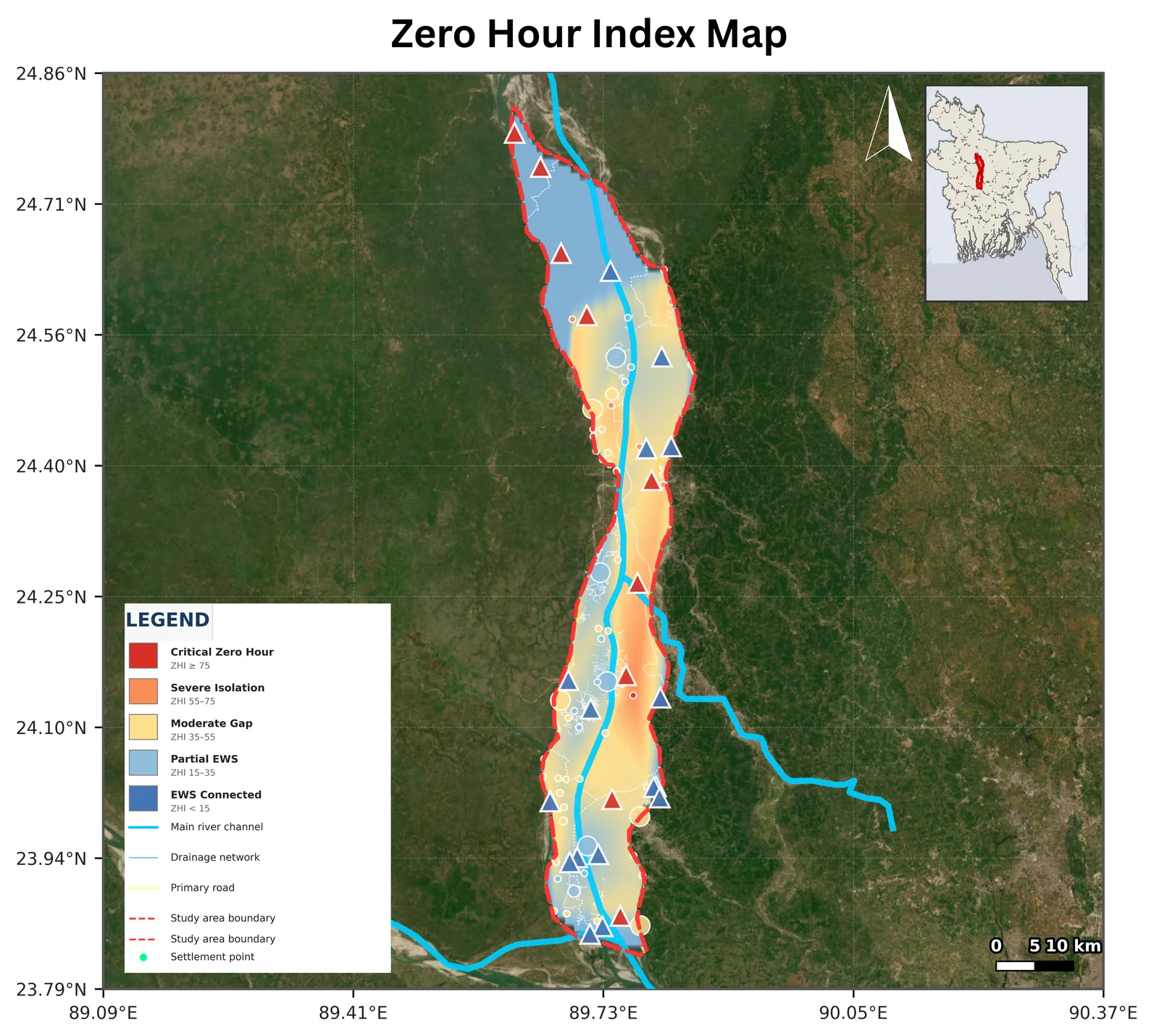
2026Maps early warning last-mile gaps in the Jamuna-Padma char corridor: where floods, failed roads and submerged mobile towers cut settlements off at the same time. Built for the RIMES Mapathon 2026.
Sabbir0Sojib/Zero-Hour-AtlasCode projects with open repositories on GitHub, newest first.
Maps early warning last-mile gaps in the Jamuna-Padma char corridor: where floods, failed roads and submerged mobile towers cut settlements off at the same time. Built for the RIMES Mapathon 2026.
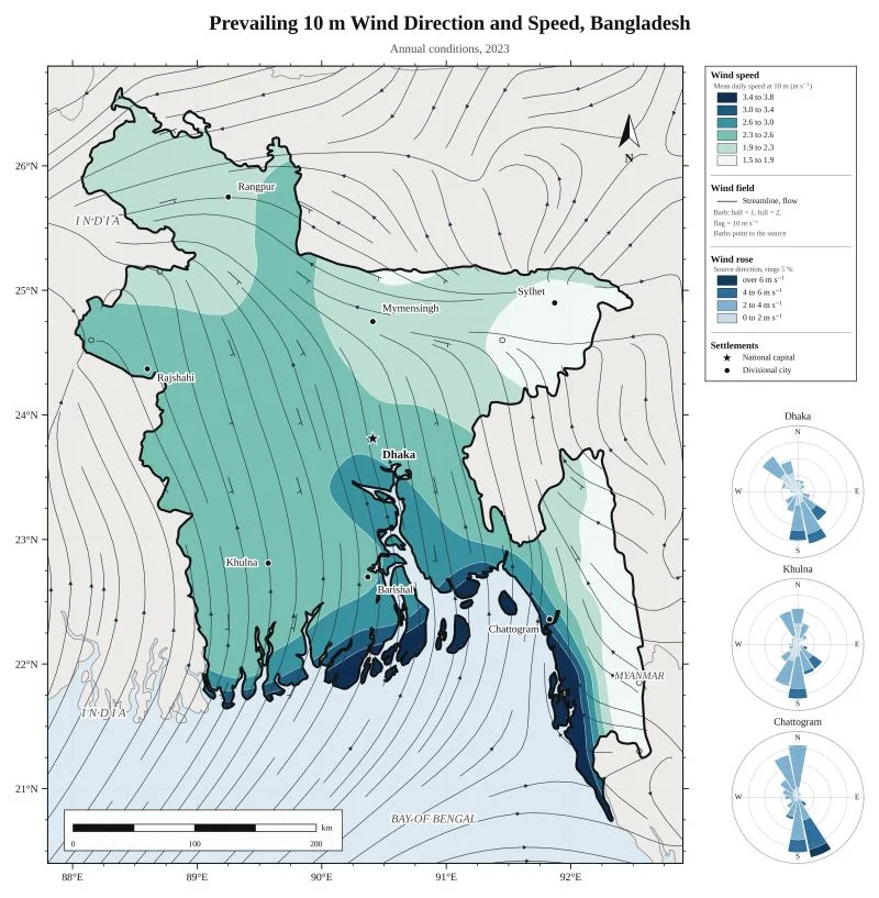
Sabbir0Sojib/Zero-Hour-AtlasMaps annual 10 m wind over Bangladesh from ERA5 reanalysis, with streamlines and wind roses for major cities.
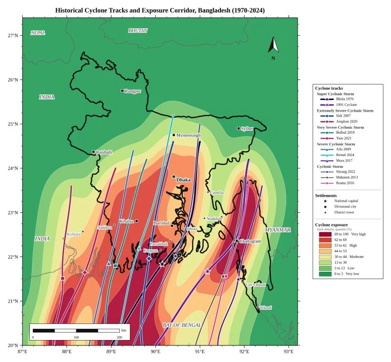
Sabbir0Sojib/Bangladesh-Prevailing-Wind-Direction-and-SpeedReconstructs 12 major cyclone tracks toward Bangladesh from 1970 to 2024 and turns them into a severity-weighted exposure corridor.
Sabbir0Sojib/Bangladesh-Cyclone-Tracks-and-Exposure-CorridorCode for my thesis: a canopy model trained on UAV imagery labels a city-wide satellite classifier, then crowns are converted to biomass, carbon and ward statistics for Pabna Municipality.
Sabbir0Sojib/Pabna_Urban_ForestFuses the Climate Vulnerability Index with satellite flood, drought and landslide signals into a Dynamic Risk Score for all 64 districts of Bangladesh.
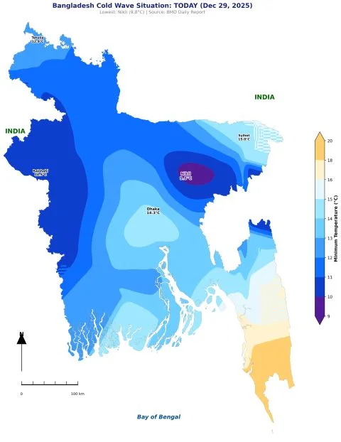
Sabbir0Sojib/CVI_Hazard_FusionAutomated pipeline that turns a GeoJSON and a date into a daily temperature map, from Open-Meteo and BMD data.
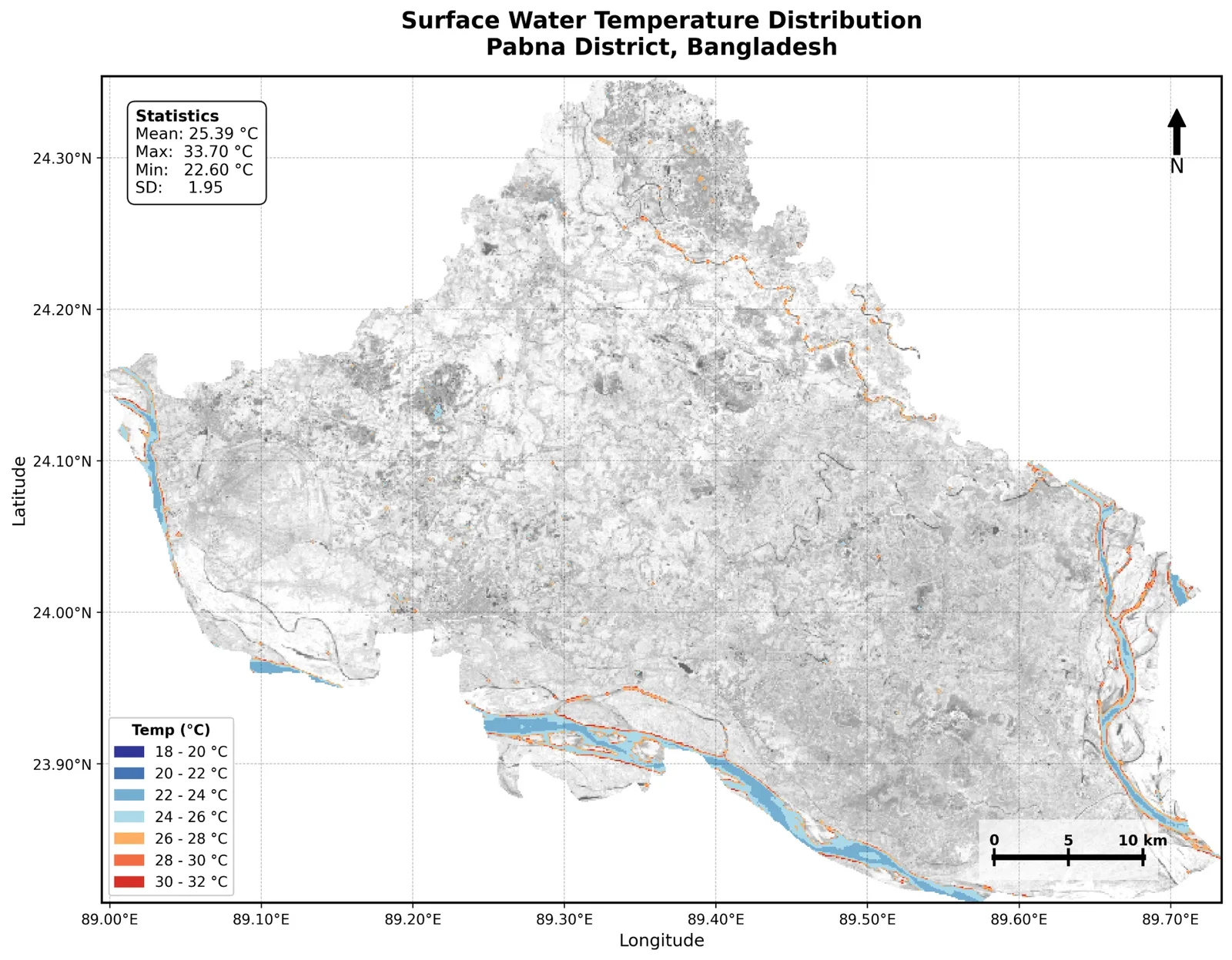
Sabbir0Sojib/Bangladesh_Temperature_MapSatellite thermal analysis of surface water dynamics across Pabna District, with maps and statistics.
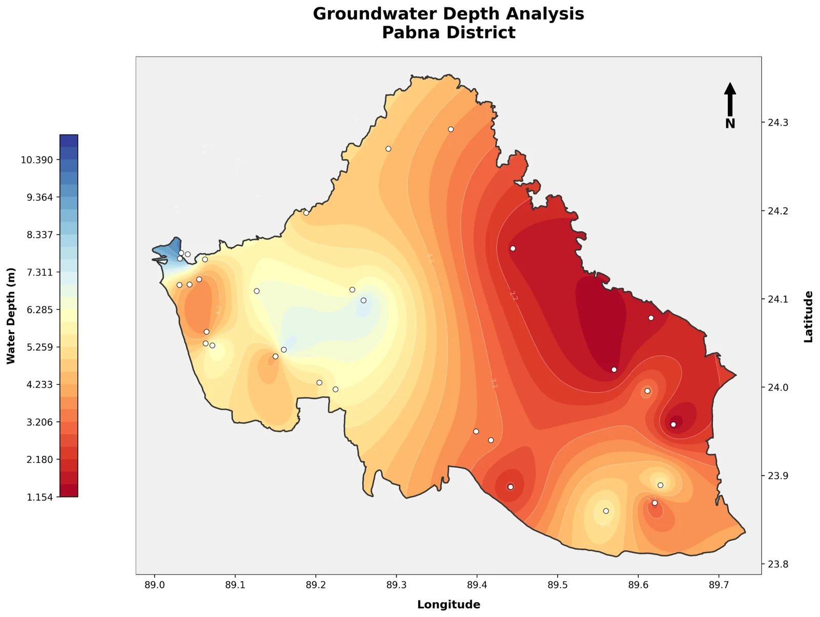
Sabbir0Sojib/Pabna_Surface_Water_AnalysisMaps groundwater depth and depletion across Pabna District from observation well data.
Sabbir0Sojib/pabna-groundwater-analysisHarmonic regression on Landsat 8 time series for Pabna District to model seasonal land surface change.
Sabbir0Sojib/Landsat8-Harmonic-Modeling-No projects yet.